Published On Jul 31, 2022
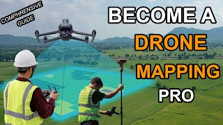
In this video, we take a look at aerial LiDAR and how it's quickly becoming the new gold standard in drone mapping. LiDAR has come a long way since its inception in the 1980s. Now, it's becoming a standard part of everyday surveys for all kinds of projects from environmental issues, to land disputes and even architectural preservation (metaverse).
—
► Equipment used in this video:
GCP Visual Markers: https://amzn.to/3Q4RDk5
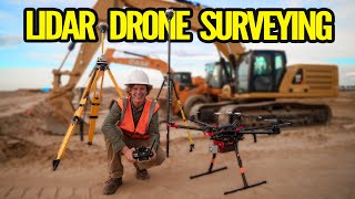
Drone: https://www.dji.com/matrice-300
RTK System: https://www.dji.com/d-rtk-2
GNSS Receivers: https://emlid.com/reachrs2/
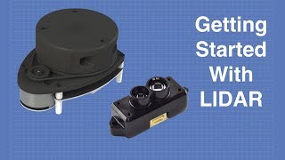
LiDAR Sensor: https://www.rockrobotic.com/drone-lid...
► Resources:
LiDAR beginnings: https://www.britannica.com/technology...
LiDAR in the Military: https://bit.ly/3cTnjuz
How LiDAR Works: https://bit.ly/3zK3YVq
How to set up a LiDAR flight plan: https://learn.rockrobotic.com/lidar-m...
► Follow Harrison: / indianadrones
► Join us on Pilot Byte! Our platform provides current and aspiring drone operators with information and resources to promote growth and development in the drone industry: https://www.pilotbyte.com
► Subscribe to my channel here: / dylangorman
—
My Camera Equipment!
Canon R5: https://amzn.to/36YsAP1
Canon 24-70 2.8L: https://amzn.to/2S2KVCK
Rode Microphone: https://amzn.to/3pfokiM
Drone: https://amzn.to/3x9GHLW
__
Follow me online!
LinkedIn: / dylan-g-099961101
Instagram: / dylang_1
—
Chapters
00:00 Intro
00:25 What is LiDAR?
03:43 How to capture LiDAR
04:00 Setting up GCP’s
05:13 Setting up observation GNSS
06:18 Setting up drone for LiDAR flight
06:26 Equipment I use for LiDAR capture
07:25 Flight planning
09:00 LiDAR data in the cloud
13:17 LiDAR vs Photogrammetry
14:26 Closing statements
rock r2a aerial mapping phoenix lidar phoenix lidar systems velodyne