Published On Sep 10, 2022
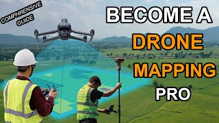
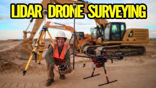
What do you get when you pair a turnkey LiDAR solution and a client that is looking to have an aerial survey completed in 2-3 weeks rather than 2-3 months? This $350,000 LiDAR project I just completed is exactly what ended up happening with my client and me. Check this video out to learn how I was able to capture 750 acres of land in less than 12 hours and provide deliverables to my client in 2-3 weeks' time from initial data capture!
Thank you Rock Robotic for sponsoring this video! Harrison and his team over at Rock Robotic are a great group of people with a fantastic product and a killer support system to get you up and running with aerial LiDAR quickly.
Learn more about Rock Robotic here: https://www.rockrobotic.com/
►Resources/ Equipment used
Rock R2A LiDAR: https://www.rockrobotic.com/drone-lid...
Emlid RS2 GNSS: https://emlid.com/reachrs2plus/
DJI M300 RTK: https://www.dji.com/matrice-300
DJI D-RTK 2 GNSS: https://www.dji.com/d-rtk-2
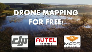
UGcS Flight Planning Software: https://www.ugcs.com/
—
► Looking to Fast Track your way to a career in the commercial drone industry? Join many others who have taken this private 4-week mentorship program and see how you can get flying: https://www.pilotbyte.com/course/4-we...
►Drones used in the drone industry:
1) "Beginner" - DJI Mini 2: https://amzn.to/3MwY7GO
2) "Beginner" - DJI Air 2s: https://amzn.to/3s2TVGO
3) "Advanced" - DJI Mavic 2 Pro: https://amzn.to/3B2cGhv
4) "Advanced" - DJI Phantom 4 Pro: https://amzn.to/3B7eAx7
5) "Intermediate" - DJI Inspire 2: https://amzn.to/38EerXp
6) "Intermediate" - DJI Mavic 3: https://amzn.to/3LAK3vO
► Subscribe to my channel here: / dylangorman
—
My Camera Equipment!
Canon R5: https://amzn.to/36YsAP1
Canon 24-70 2.8L: https://amzn.to/2S2KVCK
Rode Microphone: https://amzn.to/3pfokiM
Drone: https://amzn.to/3x9GHLW
__
Follow me online!
LinkedIn: / dylan-g-099961101
Instagram: / dylang_1
—
Chapters
00:00 Intro
00:48 Why am I capturing LiDAR for this project?
02:35 Equipment/ software overview
03:44 Setting ground controls
04:42 Rock Robotic
06:12 Flight planning w/ google
08:33 Mission automation with UGcS
09:44 In-field data capture
11:44 Data processing
14:18 Analyzing the data
15:57 Processed data review
16:46 Conclusion
rock r2a rock robotics r2a phoenix lidar phoenix lidar systems velodyne lidar