Published On Jan 24, 2021
This is PART 1 of the Google Earth Pro Advanced Tutorial. In this tutorial, we will discover some of the most advanced functionalities of Google Earth Pro, and how we can integrate Google Earth with GIS software packages such as QGIS.
Google Earth is a virtual representation of the Earth as a globe, which has a massive amount of data embedded within its system, such as satellite and aerial images, topographic information, streets and road networks, 3D representations of buildings and landmarks and so much more when it comes to different geographic information. So, check out this tutorial and see what exciting advanced features Google Earth Pro has to offer!
If you are an absolute beginner to Google Earth, we recommend you to check out the following tutorial;
Google Earth Pro - A Complete Beginner’s Guide - • Google Earth Pro - A Complete Beginne...
Google Earth Pro Advanced Tutorial (PART 2) - • Google Earth Pro Advanced Tutorial (P...
Here’s the timeline:
00:00 – Introduction
01:10 – Add placemark tool
05:10 – Add polygon tool
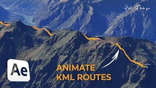
09:14 – Add path tool
11:10 – Add image overlay tool
13:20 – Record a tour
17:03 – Show historical images
20:20 – Show ruler tool
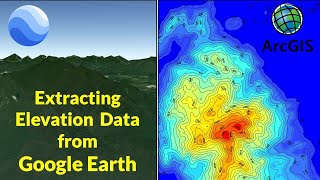
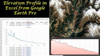
25:30 – Elevation profile extraction
#googleearth #geodeltalabs