Published On Nov 12, 2013
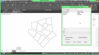
Check out this video on Importing GIS Data into Autodesk AutoCAD Civil 3D.
AutoCAD® Civil 3D® software is a civil engineering design and documentation solution that supports Building Information Modeling workflows. Using AutoCAD Civil 3D, infrastructure professionals can better understand project performance, maintain more consistent data and processes, and respond faster to change.
Subscribe to Applied Software: / @asti
Click the bell icon so you'll know when we add a new video!
▬ Follow Applied Software ▬▬▬▬▬▬▬▬▬▬▬▬
► LinkedIn: / 35742
► Instagram: @appliedsoftware
► Website: https://www.asti.com
▬ Sponsored Podcast ▬▬▬▬▬▬▬▬▬▬▬▬
Bridging the Gap: bridgingthegappod.com
► Google Podcasts: https://podcasts.google.com/feed/aHR0...
► Apple Podcasts: https://apple.co/32Ka3z2
► Spotify: https://spoti.fi/2VE32P6
► YouTube: / @btgpod
►Instagram: @bridgingthegappod
The AEC Disruptors Podcast: https://theaecdisruptors.com/
▬ Strategic Partners ▬▬▬▬▬▬▬▬▬▬▬▬
GRAITEC - A global leading BIM provider https://graitec.com/
Applied Software, a GRAITEC company, is a full-service premier systems integrator for the AEC, MEP, fabrication, and manufacturing industries. We are on a mission to transform industries by empowering our clients and championing innovation with real-world expert consultants. With a broad range of world-class solutions, services and training, Applied has been helping clients achieve a competitive advantage since 1982. For more information, visit www.asti.com.