Published On Premiered Dec 8, 2020
Driving from Santa Barbara to San Luis Obispo on CA-1 US-101
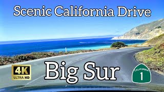
scenic drive on California Pacific Coast Highway
Pch drive from San Luis obispo to Santa Barbara California
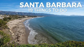
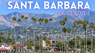
Central Coast
The US 101/SR 1 concurrency (although actual signage mentioning SR 1 through this segment is nonexistent) from the Mobil Pier Undercrossing runs for 54 miles (87 km), passing through the City of Santa Barbara and its neighboring communities along the coast of Santa Barbara County.
The route then turns away from the coast at Gaviota, avoiding Point Conception, and heads due north through Gaviota State Park and the Gaviota Tunnel.
In Las Cruces, SR 1, now named Cabrillo Highway, splits again from US 101 and heads northwest to the city of Lompoc. It is briefly joined with SR 246 along Lompoc's east-west Ocean Avenue, before turning north as H Street to Harris Grade Road, where it then regains the Cabrillo Highway name.
After reaching the main entrance to Vandenberg Air Force Base, SR 1 turns northeast, away from the immediate coastline of the base, to join SR 135.
Route 135 then splits from Route 1 south of Orcutt, and the Cabrillo Highway turns northwest back towards the coast to Guadalupe. It enters San Luis Obispo County, avoiding the immediate coastline of the protected Guadalupe-Nipomo Dunes, before passing through Grover Beach and subsequently joining US 101 for the third time at Pismo Beach. T
he US 101/SR 1 concurrency then avoids the immediate coastline of Avila Beach and Diablo Canyon Power Plant, and instead heads straight inland to San Luis Obispo.
Dash Cam Tours
#RoadTrip #SantaBarbara #SanLuisObispo
Follow on Twitter:
(@SafetyPint): https://twitter.com/SafetyPint?s=09
Dashcamtours.com
Subscribe to my SECOND CHANNEL with walking tours:
/ @povwalks