Published On Dec 7, 2022
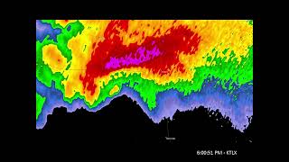
In-depth meteorological discussion of the May 20, 2019, High Risk severe weather event across Oklahoma and Texas. This event was forecast to be a significant outbreak of long-track, strong-to-violent tornadoes from numerous discrete supercells across the open warm sector; however, for the most part, this scenario did not materialize, and initially discrete storms quickly merged into a squall line while the open warm sector remained mostly free of dangerous tornadic storms. In this video, we'll discuss the meteorology behind the event before diving into several factors that appear to have inhibited the event from reaching its potentially historic ceiling.
As mentioned in the video, this event was far from a bust, with over 200 severe weather reports from numerous impactful storms. We're very fortunate that the event did not live up to its potential; the "What Went Wrong?" portion of the title of this video refers to how the event underperformed relative to what was forecast.
Jon Davies article on using 700 mb temperatures to estimate cap strength: http://davieswx.blogspot.com/2011/03/...
Storm chaser Stephen Jones's Tornado Intercept YouTube channel: / @tornadointercept
Chapters:
0:00 Introduction
2:40 Meteorological overview
28:10 Inhibiting factors