
Published On Oct 26, 2015
This video defines GIS (Geographical Information Systems) and describes the applications of GIS and GIS mapping across a wide range of disciplines. In this introduction to Geographic Information Systems, Mike Ernst explains the relationship between GIS and urban planning.
GIS uses a wide range of components, including GIS software, hardware networks, data analysis procedures, GIS analysis, and databases. Maps are the heart of GIS, but GIS is more than just maps. GIS enables a more comprehensive and holistic understanding of places and spatial challenges by linking data to geographic features. Watch the video to learn more about how GIS helps urban planners make planning decisions, understand spatial patterns, and engage the public.
00:04 What is GIS? Defining Geographic Information Systems
00:45 Components of GIS
01:29 Who uses GIS?
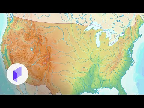
01:51 Maps and GIS
02:08 Other applications of GIS
02:40 GIS and Urban Planning
#gis #urbanplanning #geographicinformationsystems
Subscribe to the Planetizen Courses channel and enable notifications to keep up with the latest urban planning videos: https://www.youtube.com/c/PlanetizenC...
This video is an excerpt from "GIS Fundamentals: An Introduction." Watch the full course here: https://courses.planetizen.com/course...
Planetizen Courses offers hundreds of online urban planning video courses taught by trusted planning experts. Sign up for access to cutting edge urban planning and urban design video courses on your computer, phone, or tablet:
https://courses.planetizen.com/course...
Follow Planetizen Courses on Twitter: / plnzcourses
Follow Planetizen Courses on LinkedIn: / planetizen-courses