Published On Dec 18, 2007
Breathtaking...
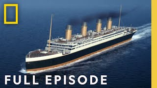
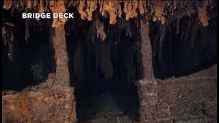
Nearly 20 years after first finding the sunken remains of the R.M.S. Titanic, marine explorer Robert Ballard returned in June 2004, helped by the NOAA Office of Ocean Exploration to study the ship's rapid deterioration.
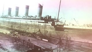
The Titanic team worked aboard NOAA Ship Ronald H. Brown from May 30 through June 9, spending 11 days at the wreck site, mapping the ship and conducting scientific analysis of its deterioration.
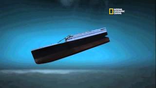
The team used Institute for Exploration (IFE) remotely operated vehicles (ROVs) Hercules and Argus to conduct a sophisticated documentation of the state of Titanic was not possible in the 1980s.
This "look, don't touch" mission used high-definition video and stereoscopic still images to provide an updated assessment of the wreck site at a depth of 3,840 meters (12,600 feet).
As the nation's ocean agency, NOAA has a vested interest in the scientific and cultural aspects of the Titanic and in its appropriate treatment and preservation. NOAA's focus is to build a baseline of scientific information from which we can measure the shipwreck's processes and deterioration, and then apply the knowledge we gain to other deepwater shipwrecks and submerged cultural resources.
Video courtesy of the R.M.S. Titanic Expedition Team 2004, ROI, IFE, NOAA-OER.
Source: http://oceanexplorer.noaa.gov/explora...
Google Map of wreck site location for the R.M.S. Titanic: http://go.usa.gov/XWk